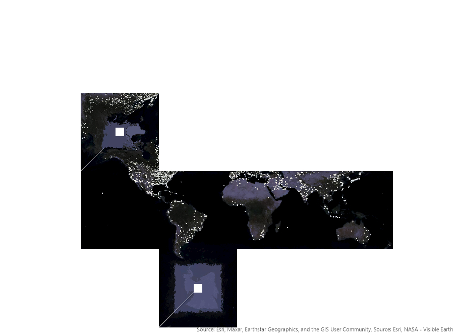
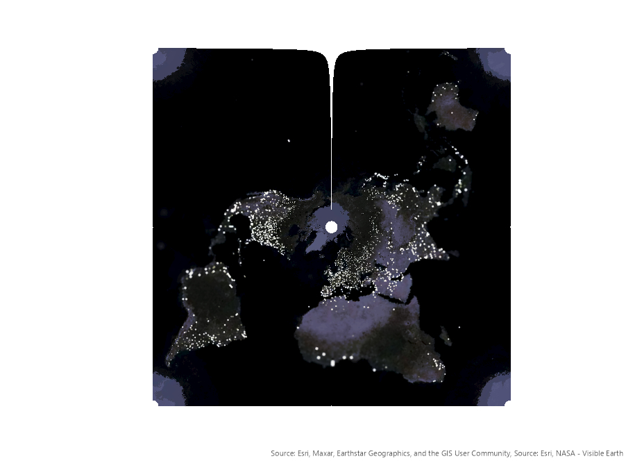
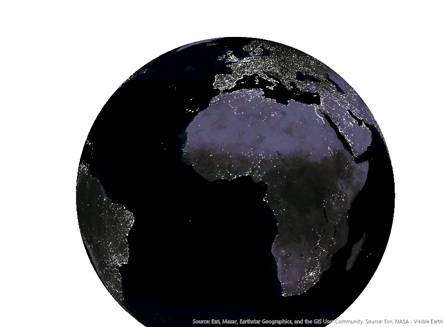
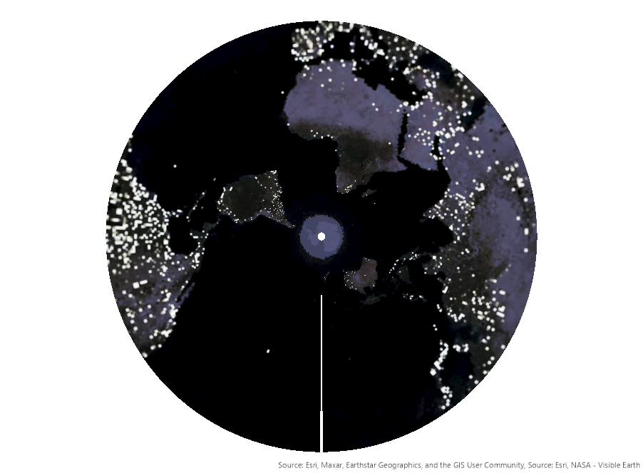
Projections
Explore different map projections & how they distort the world.
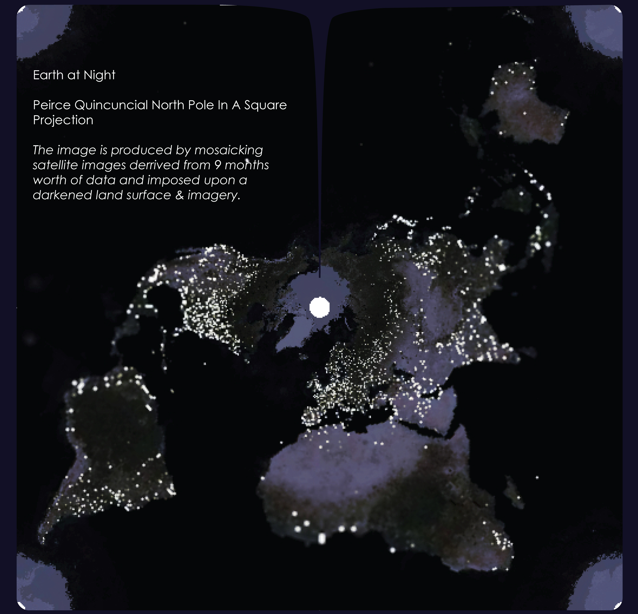
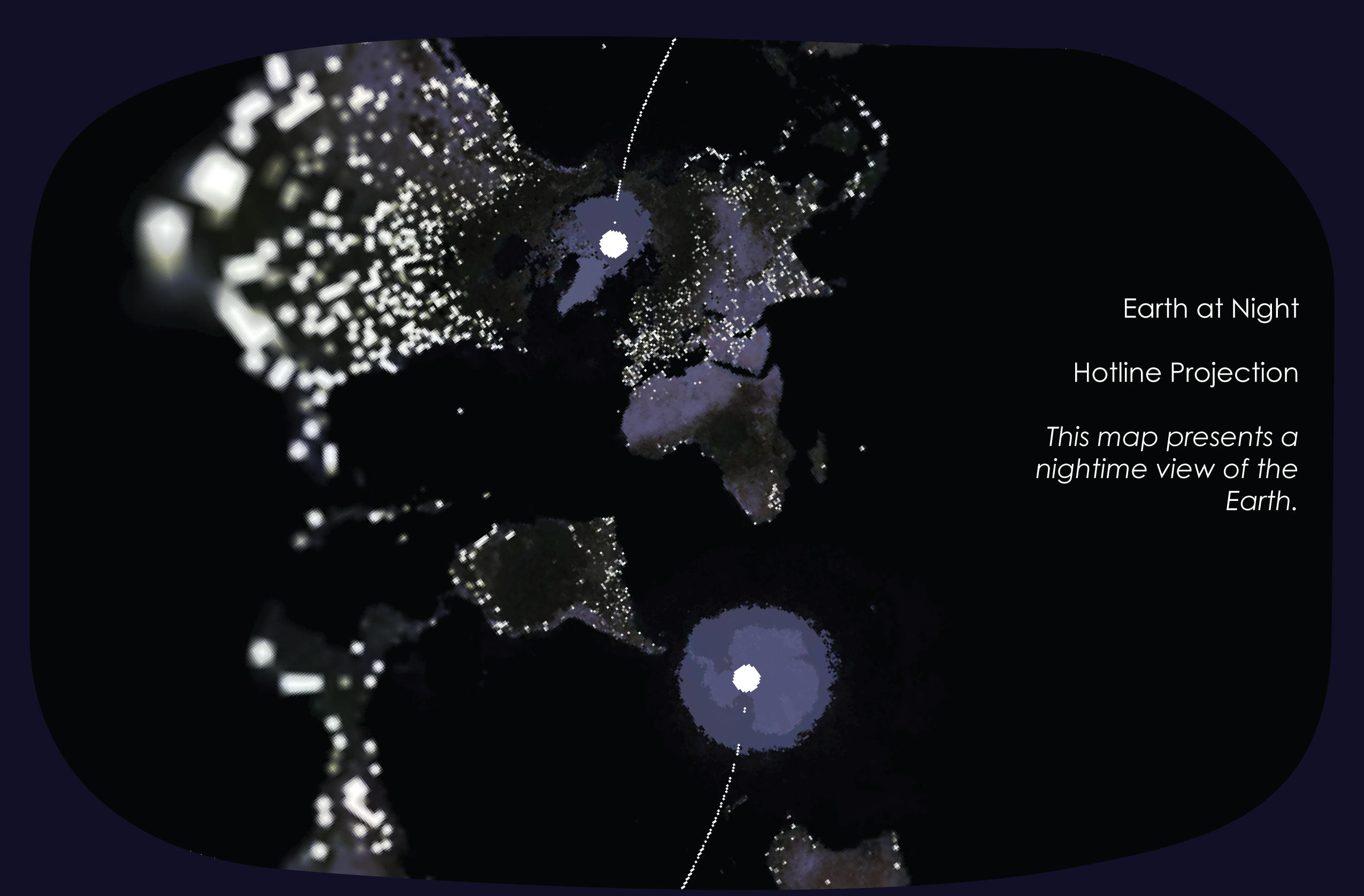
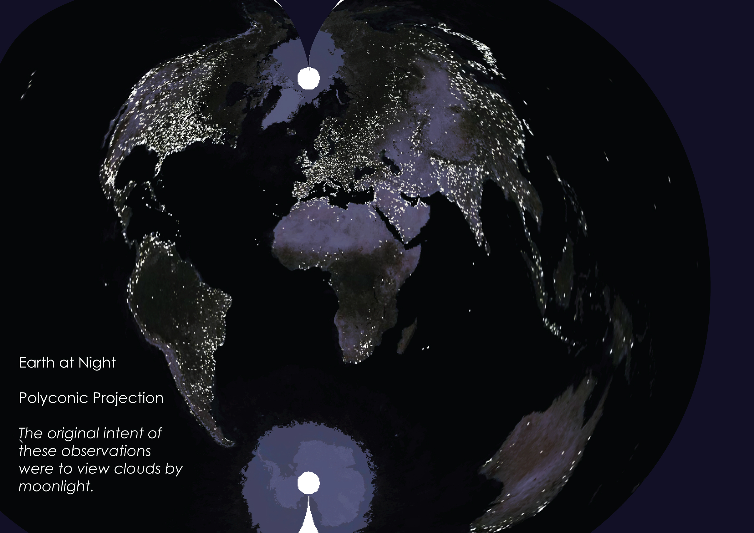
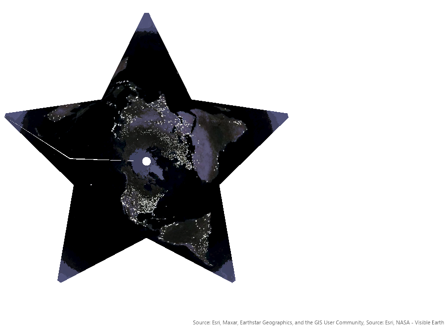
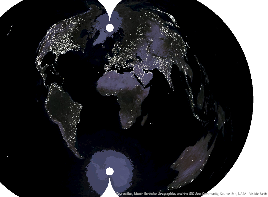
Earth at Night. This dataset represents a nighttime view of the Earth. The overall image is mosaicked satellite imagery taken over the course of 9 months. The original intent for these images were to observe cloud coverage.
I discovered the various projections created a twilight quality over the illuminated patterns of human activity at night. Each projection presented the data with an almost tilt-shift lens effect. I layered the data with transparent overlays of satellite basemaps for a unique visual experience.